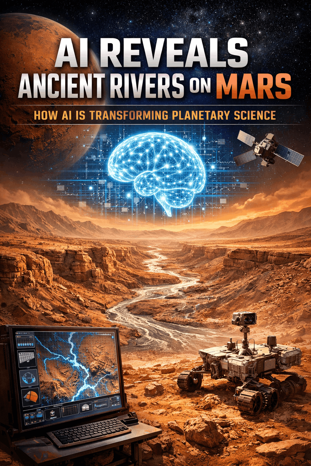
AI Reveals Ancient Rivers on Mars: How AI Transforming Planetary Science
Introduction: The Landscape of Martian Discovery
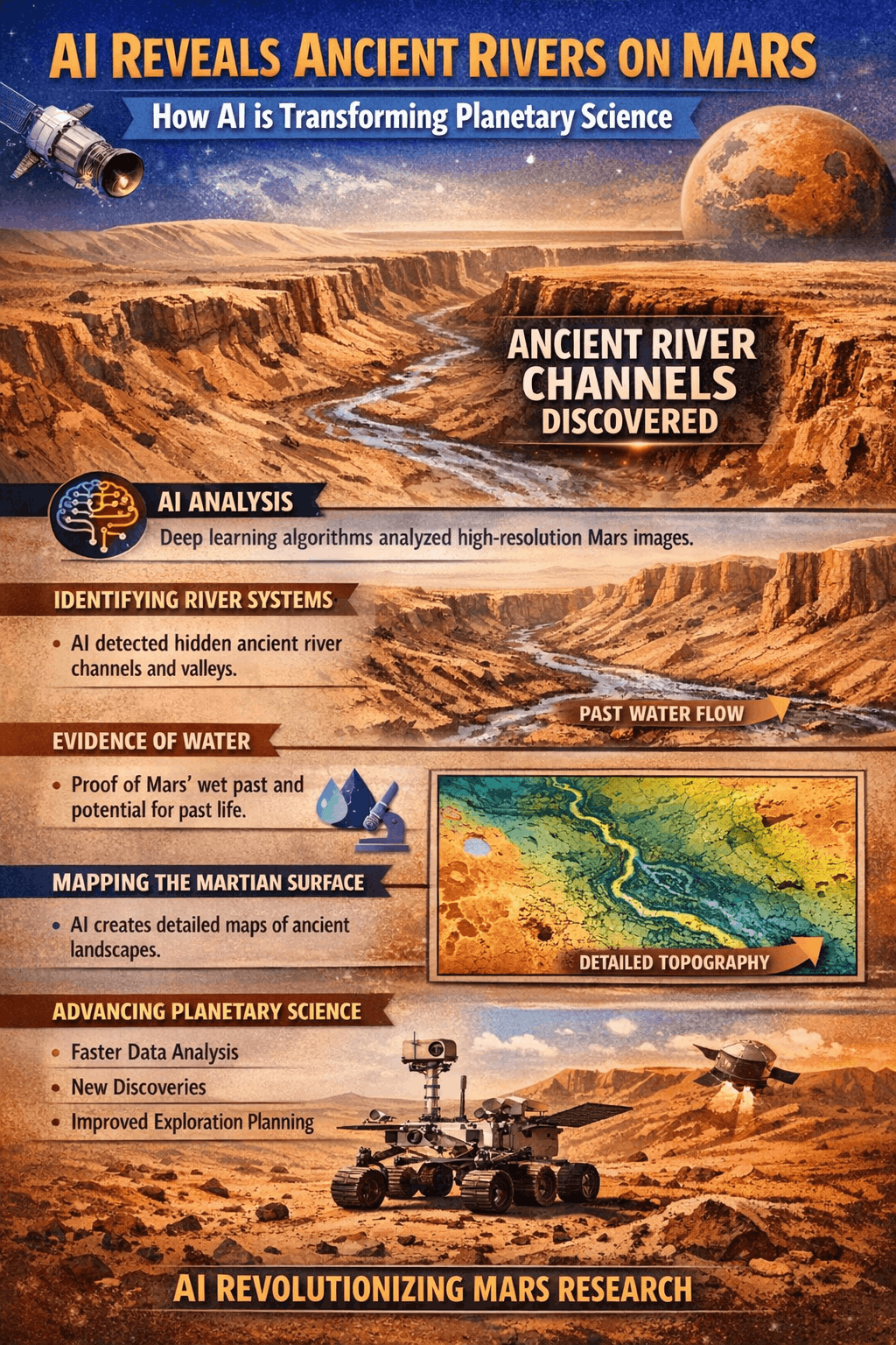
The scientific understanding of Mars has evolved from a distant red enigma into a planet with a complex geological history. Recent breakthroughs are redefining this perspective as AI Reveals Ancient Rivers on Mars through advanced data-driven analysis. This approach allows subtle geological indicators—such as eroded channels, sediment deposits, and delta formations—to be detected at scale. As AI Reveals Ancient Rivers on Mars, it provides a clearer understanding of how liquid water once shaped the planet’s surface and influenced its environmental evolution.
The importance of these findings lies in the integration of AI methodologies with established geological frameworks. The core entity examined is the paleohydrological network, representing the preserved traces of ancient river systems. When AI Reveals Ancient Rivers on Mars, it delivers some of the strongest evidence to date that the planet supported sustained flowing water billions of years ago, a foundational element in assessing Mars’ potential past habitability. This AI analysis of Martian terrain provides the clearest evidence yet that Mars hosted persistent, flowing water, a cornerstone for assessing its past habitability.
AI Reveals Ancient Rivers on Mars: How AI Transforming Planetary Science
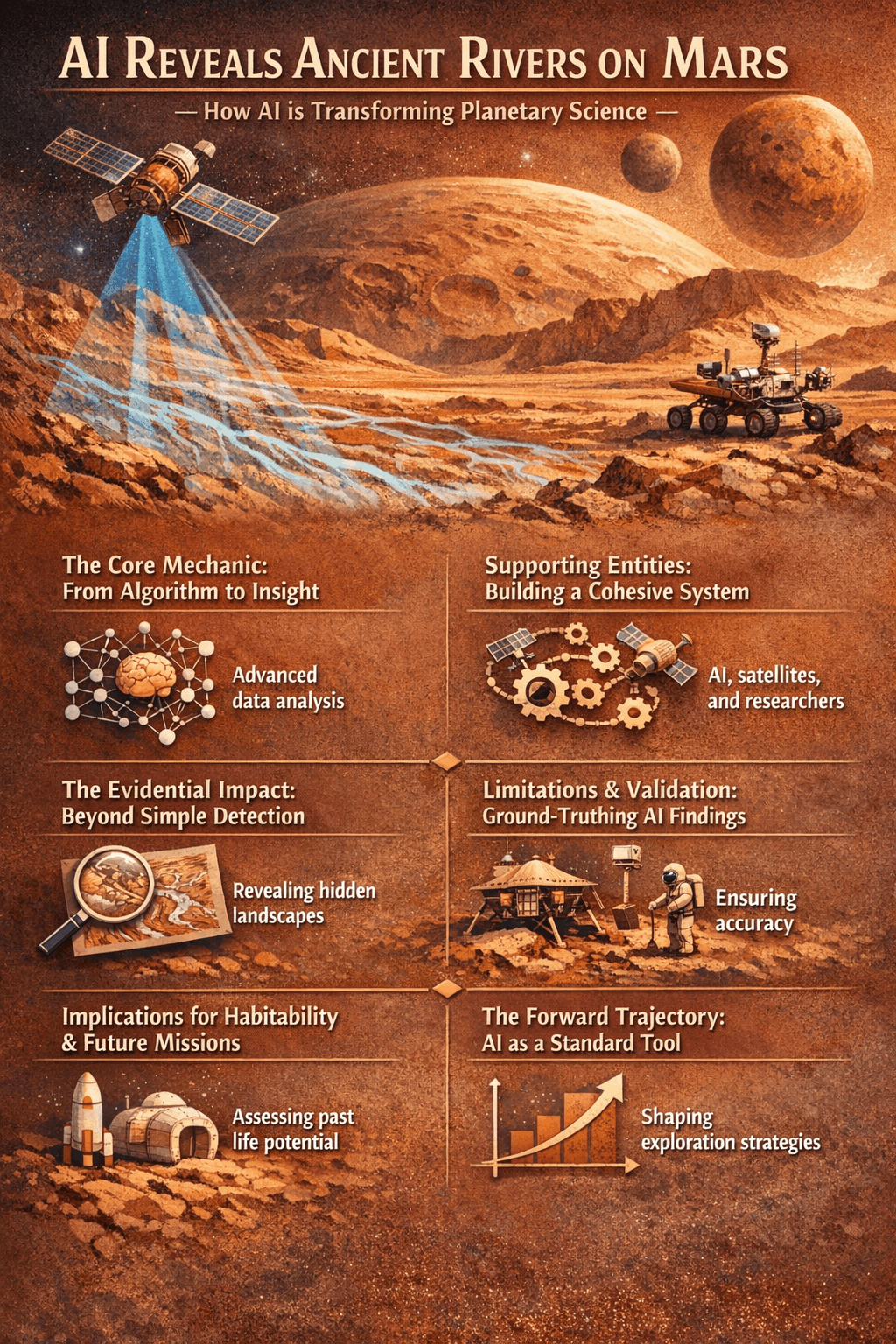
The Core Mechanic: From Algorithm to Insight
The process begins with high-resolution imagery from satellites like NASA’s Mars Reconnaissance Orbiter. AI, specifically convolutional neural networks (CNNs), is trained to recognize the spectral and topological signatures of fluvial features. Unlike manual analysis, the system scans entire regions, identifying patterns—like sinuous ridges or characteristic erosion profiles—that human eyes might overlook or fatigue from reviewing. The AI is not guessing; it is applying learned geomorphological rules at computational speed. This shifts the researcher’s role from painstaking search to strategic interpretation, massively accelerating the discovery pipeline for ancient Martian river channels.
Supporting Entities: Building a Cohesive System
The primary paleohydrological entity is supported by a network of interconnected findings and tools. These include inverted channels (where former riverbeds now stand as ridges), alluvial fans, deltaic deposits, and valley networks. The AI cross-references these with data on mineralogical composition (like clay and sulfate deposits) and crater chronology. This multi-entity approach builds a systems-level view, moving from identifying a single ‘stream’ to mapping a planet-wide hydrological cycle, confirming that water flow was not a rare event but a defining climatic phase.
The Evidential Impact: Beyond Simple Detection
Why does this matter? The discovery does more than confirm water existed. By mapping the density, distribution, and morphology of these channels, AI provides quantitative data on past Martian climate models. The size and shape of river systems indicate water volume, flow duration, and source. This allows scientists to model atmospheric pressure and temperature ranges needed to sustain liquid water. It transforms a qualitative “Mars was wet” into a quantitative “Mars sustained rivers with X discharge for Y millennia under Z conditions.”
Limitations & Validation: Ground-Truthing AI Findings
A critical question is how do we trust the AI’s interpretation? The process requires rigorous validation. Identified features are checked against other datasets, such as mineral maps from spectrometers and topographic data from laser altimeters. The most powerful validation comes from known sites, like the Perseverance rover’s landing area in Jezero Crater—an ancient delta the AI would flag. This ground-truthing confirms the algorithm’s accuracy and refines its predictive power for unexplored regions, ensuring findings are robust and credible.
Implications for Habitability & Future Missions
The practical outcome is a refined search strategy for biosignatures. Flowing water is a prerequisite for life as we understand it. These AI-generated maps of paleo-drainage basins become direct targeting guides for future rover and sample-return missions. Environments like persistent river deltas or lakebed sediments, pinpointed by AI, are high-priority sites for investigating organic matter. This turns abstract discovery into a tactical mission-planning asset.
This methodology is now a permanent pillar of planetary science. The next phase involves more sophisticated AI that can model not just where water flowed, but how the entire hydrological system evolved over time. Integration with climate simulation models will create dynamic, testable histories of Mars. The question for mission planners is no longer just “where to look,” but “in what sequence to explore” based on a ranked hierarchy of AI-identified promising habitats.
AI Reveals Ancient Rivers on Mars: How AI Transforming Planetary Science
Conclusion: A New Paradigm in Planetary Analysis
The revelation of Mars’s extensive river networks through AI marks a shift from hypothesis-led investigation to data-driven discovery. It synthesizes disparate data into a coherent historical model, offering the most detailed picture yet of a dynamic, wetter Mars. This establishes a foundational reference for all subsequent habitability research. The trajectory is clear: AI will increasingly serve as the primary filter through which we triage and interpret extraterrestrial data, turning vast datasets into focused, testable scientific pathways. To stay current, follow the ongoing analysis of crater chronology tied to these hydrological maps, as it will pinpoint the most climatically stable eras—and the most promising moments for life to have emerged.
FAQs
What type of AI found rivers on Mars?
Convolutional neural networks (CNNs), a form of machine learning optimized for visual data analysis, were trained to identify the topographic and spectral signatures of ancient fluvial features in satellite imagery.
How does this change the search for life on Mars?
It provides high-confidence, data-driven maps of the most promising locations—such as ancient deltas and lakebeds—where organic molecules or biosignatures are most likely to be preserved, directly guiding future robotic exploration.
Can this AI technique be used on other planetary bodies?
Absolutely, the same methodology is applicable to analyzing imagery of the Moon, Mercury, or Titan, searching for different hydrological or volcanic features, making it a versatile tool for comparative planetary science.

